
Ground investigation services for engineering decisions.
Integrated geological, geophysical and geospatial services for sites where ground conditions matter. Services can be commissioned individually or combined where appropriate.
Soil & Site Investigation
Direct investigation of soil and rock conditions through boreholes, SPT, sampling, rock coring, trial pits and related field activities.
- Borehole investigation
- Standard Penetration Testing
- Soil sampling
- Rock coring
- Trial pits
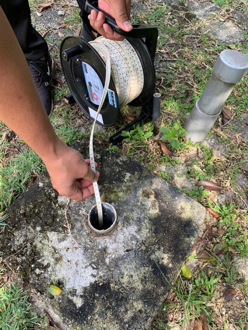
- Groundwater observations
- Borehole logging
- Investigation reporting
Useful for: foundation planning, development sites, infrastructure, earthworks and investigation of existing ground conditions.
Explore Soil Investigation →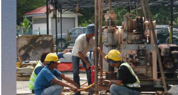
Geophysical Investigation
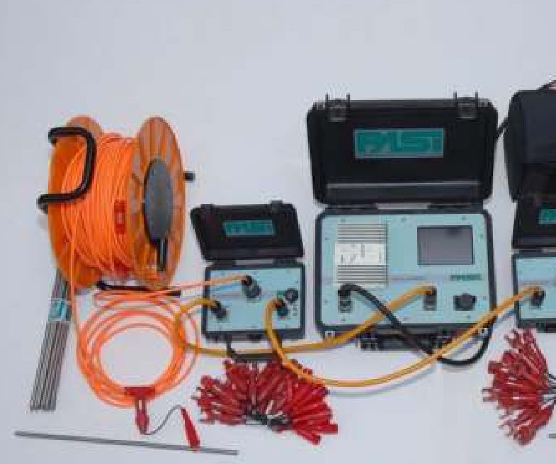
Non-invasive investigation methods for characterising subsurface variation and identifying areas requiring further investigation or verification.
ERT · Electrical Resistivity/IP · GPR · Seismic Refraction · Parallel Seismic Test
Typical applications: bedrock profiling, weathering assessment, groundwater-related investigation, potential weak zones, fractured zones, potential cavities and buried features.
Explore Geophysics →Geological Investigation & Mapping
Field-based geological assessment of materials, structures, weathering and terrain.
- Geological mapping
- Engineering geological mapping
- Geological terrain mapping
- Rock mass description
- Discontinuity mapping
- Structural observations
Slope & Geohazard Investigation
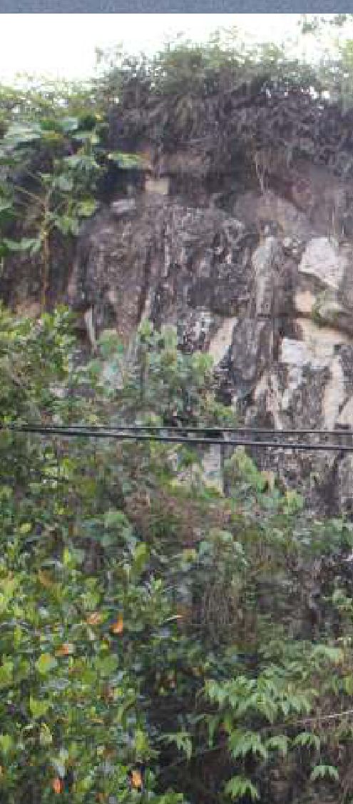
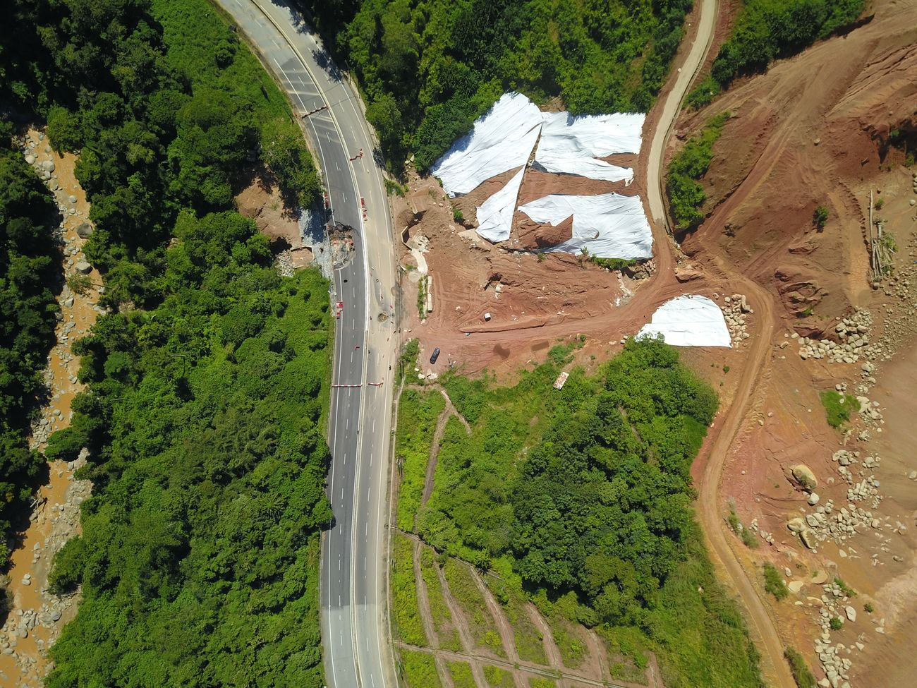
Assessment of geological and terrain conditions associated with slope instability and geological hazards.
- Geological slope mapping
- Rock slope assessment
- Rockfall trajectory analysis
- Discontinuity assessment
- Terrain analysis
- Geophysical support
Detailed engineering design or remedial works should be undertaken by appropriately qualified professionals where required.
GIS & Geospatial Analysis
Transform spatial data into usable geological and terrain information.
- GIS mapping
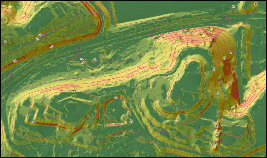
- DEM/DTM analysis
- Slope & aspect analysis
- Terrain modelling
- Geological GIS
- Spatial database development
Hydrogeology & Groundwater
Assessment of geological and geophysical conditions associated with groundwater and seepage.
- Groundwater assessment
- Seepage investigation
- Hydrogeological mapping
- Groundwater monitoring support
Instrumentation & Monitoring
Installation and scheduled monitoring of geotechnical instrumentation — including standpipe piezometers — for long-term tracking of slopes and structures at risk.
Technical Consultancy & Interpretation
Where multiple datasets are available, GEO GIS SERVICES can assist with integrating geological, geophysical, site investigation and spatial information.
Technical interpretation · Geological models · GIS mapping · Integrated site assessment · Investigation reports
Not sure which service fits your project?
Tell us the ground question you're trying to answer — we'll recommend an appropriate scope.