
Geological understanding. Field evidence. Spatial data.
GEO GIS SERVICES provides geological, geophysical and geospatial investigation services for engineering, infrastructure and development projects.
A practical approach to ground investigation.
Ground conditions influence how projects are planned, designed and constructed. Understanding those conditions requires more than a single dataset.
GEO GIS SERVICES brings together geological field observation, site investigation, geophysical investigation and GIS-based spatial analysis to help clients build a clearer picture of their site.
Our work is focused on obtaining relevant field evidence, interpreting the data within its geological context and presenting the findings clearly.
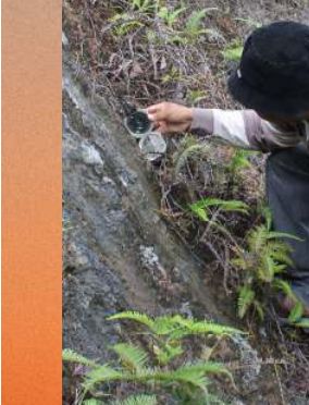
Our technical scope.
Soil & Site Investigation
Direct investigation of soil and rock conditions.
Geophysics
Non-invasive and complementary investigation of subsurface variation.
Geological Mapping
Field mapping and engineering geological characterisation.
Slope & Geohazard Investigation
Assessment of geological conditions associated with terrain and slope-related problems.
GIS & Geospatial Analysis
Spatial analysis and mapping for geological and engineering applications.
Hydrogeology
Investigation and interpretation of groundwater-related conditions.
Start with the question.
Every investigation should have a purpose. Before recommending a method, we consider:
- What is the project trying to establish?
- What ground condition is uncertain?
- What information is already available?
- What geological conditions are expected?
- What level of investigation is appropriate?
- How will the results be used?
This helps avoid collecting data that does not answer the project's actual question.
Field capability supported by appropriate tools.
Confirmed: ERT resistivity meter, seismic refraction system (sledgehammer source with geophone array), Ground Penetrating Radar (GPR) unit, ArcGIS (Esri) for spatial analysis and mapping.
Applied according to project scope.
GEO GIS SERVICES considers applicable Malaysian requirements, project specifications and recognised technical standards relevant to the scope of work. Specific standards are identified within individual technical proposals and reports according to the investigation method and project requirements.
Have a ground condition you need to understand?
Share your site details and we'll discuss an appropriate investigation scope.