
Understand the Ground.
Map the Risk.
Integrated geological, geophysical and geospatial investigation services for construction, infrastructure and land development projects.
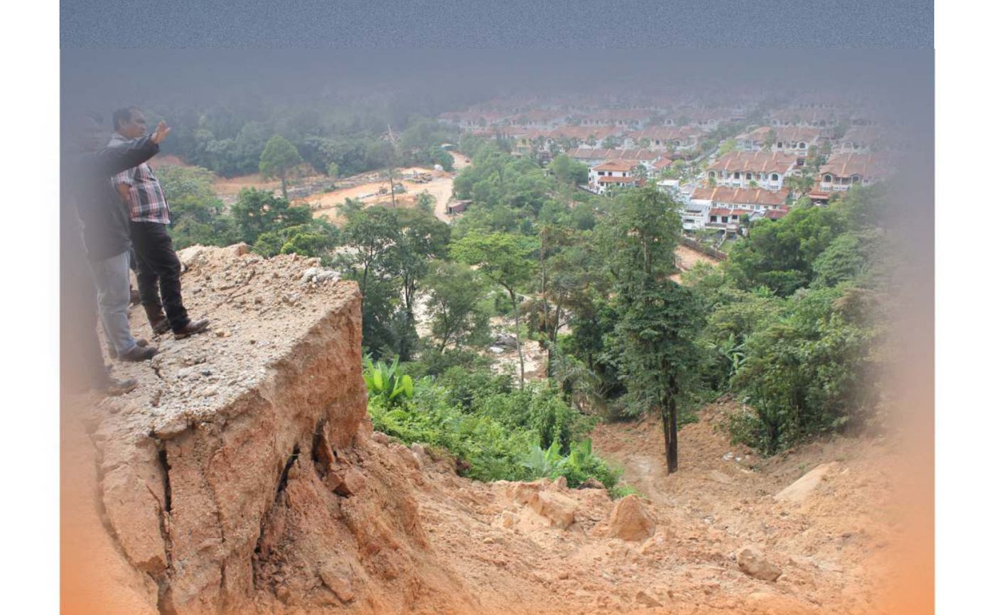
What lies beneath your site?
Ground conditions are rarely uniform. Soil, weathered rock, fractured zones, groundwater, geological structures and buried features can vary significantly across a project site.
GEO GIS SERVICES combines geological observation, direct investigation, geophysical methods and geospatial analysis to develop a clearer understanding of subsurface and terrain conditions.
Before design and construction — understand the ground.
How We Investigate →Investigation from surface to subsurface.
From preliminary geological assessment to detailed field investigation — eight complementary disciplines, one field team.
Soil & Site Investigation
Boreholes, SPT, sampling, rock coring and groundwater observations to establish the subsurface profile.
Explore Service →Geophysical Investigation
Non-invasive methods for investigating subsurface variation, weathering, bedrock, groundwater and potential anomalies.
Explore Service →Geological Investigation & Mapping
Engineering geological mapping, terrain mapping, rock mass description and geological interpretation.
Explore Service →Slope & Geohazard Investigation
Field-based geological assessment of slopes, landslides, rock slopes, seepage and discontinuities.
Explore Service →GIS & Geospatial Analysis
GIS-based mapping, terrain analysis, DEM/DTM processing and spatial analysis.
Explore Service →Hydrogeology & Groundwater
Groundwater and seepage assessment, hydrogeological mapping and geophysical support for groundwater investigations.
Explore Service →Instrumentation & Monitoring
Installation and scheduled monitoring of geotechnical instrumentation for long-term tracking of slopes at risk.
Explore Service →Technical Consultancy & Interpretation
Integration and interpretation of geological, geophysical, geospatial and site investigation data into practical technical outputs.
Explore Service →Field data is only useful when it can be understood.
Geology
Understand the geological materials, weathering, structures and terrain controlling ground conditions.
Investigation
Select appropriate direct and indirect investigation methods based on the project objective.
Data
Process and review field measurements with appropriate quality-control procedures.
Interpretation
Translate investigation results into maps, profiles, models and technical conclusions.
From site question to technical understanding.
A consistent investigation workflow so scope, methods and outputs are matched to your project's actual ground-risk question — not a fixed package applied to every site.
Understand
Establish the project objective, site setting and specific ground-related question.
Assess
Review available geological, terrain and historical information, with site reconnaissance where required.
Investigate
Implement appropriate field methods according to the investigation objectives.
Process
Check and process field data, ready for interpretation.
Integrate
Assess geological observations, investigation results and spatial information together.
Report
Present results through appropriate technical figures, maps, profiles and written interpretation.
Multiple methods. One ground model.
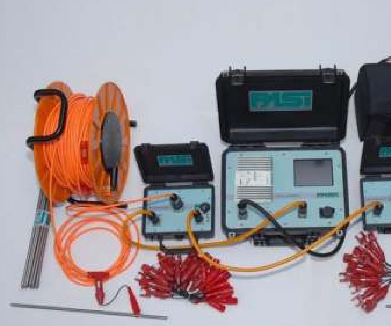
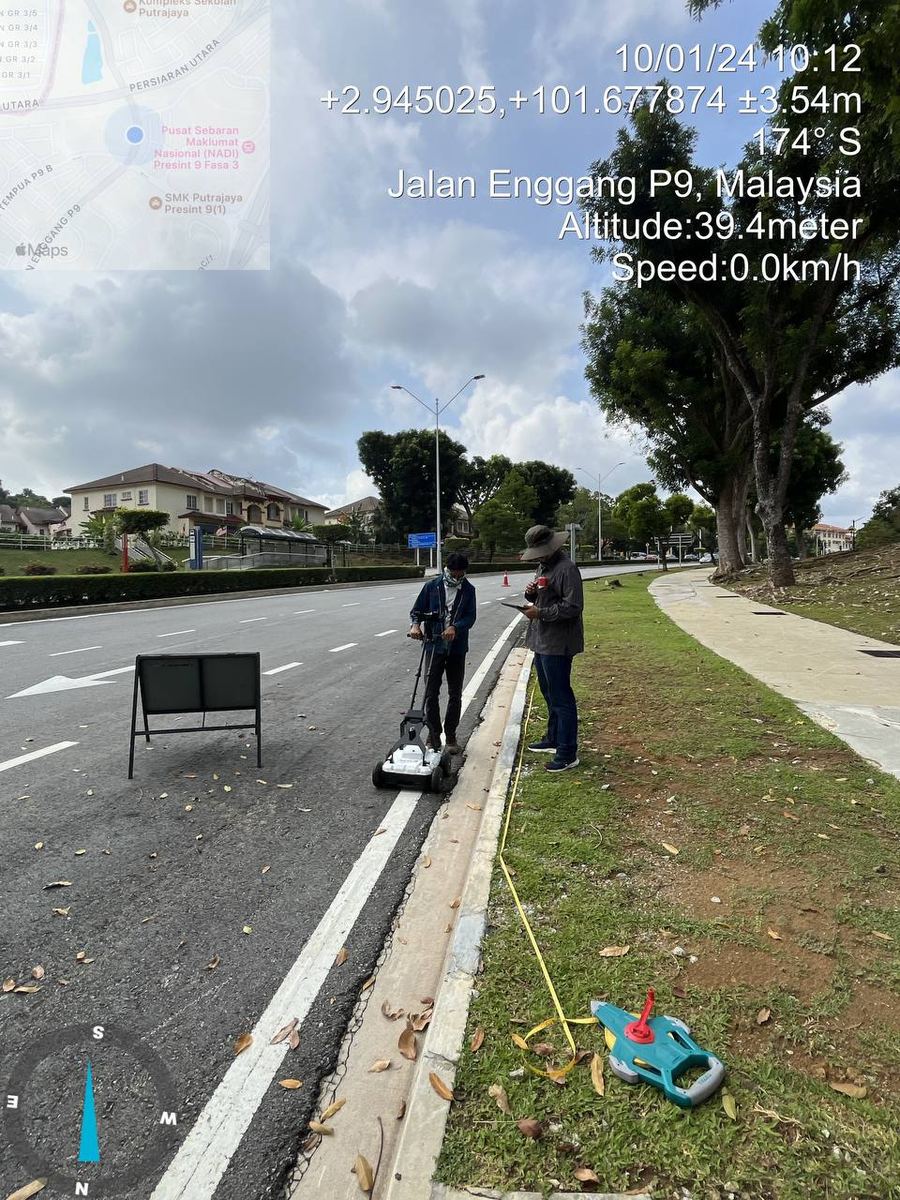
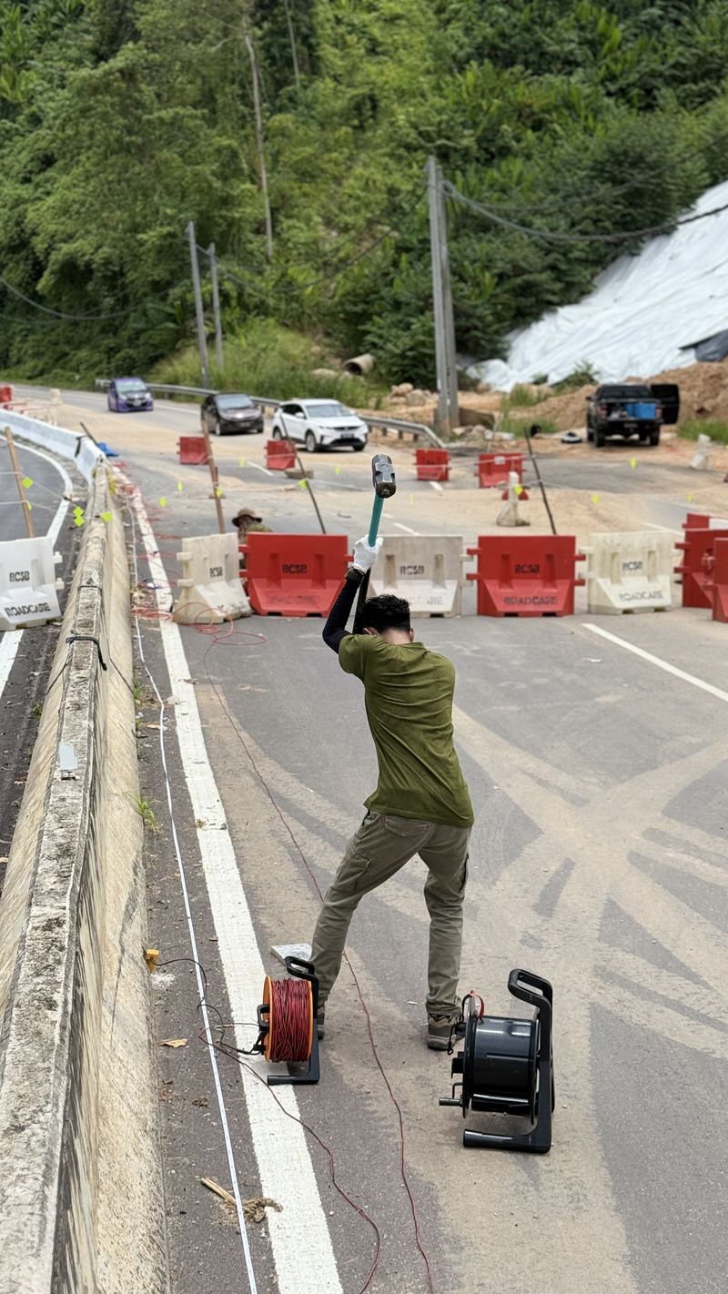
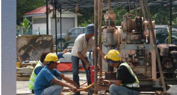
Real investigations, real ground conditions.
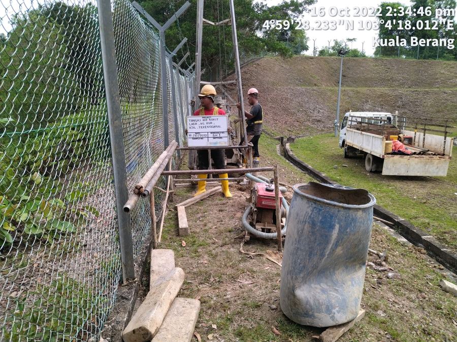
Water Tank Site Borehole
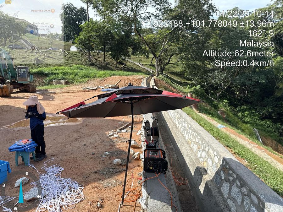
Resistivity Survey, Drainage Slope
Roadside Subsurface Scan
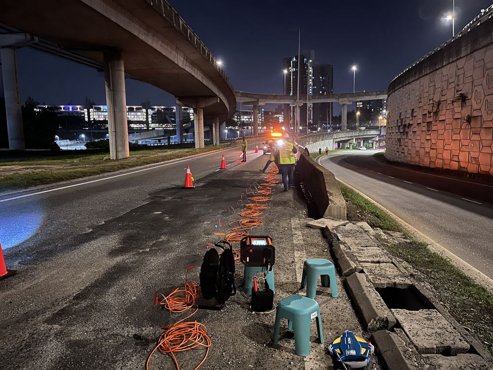
Night Survey, Highway Interchange
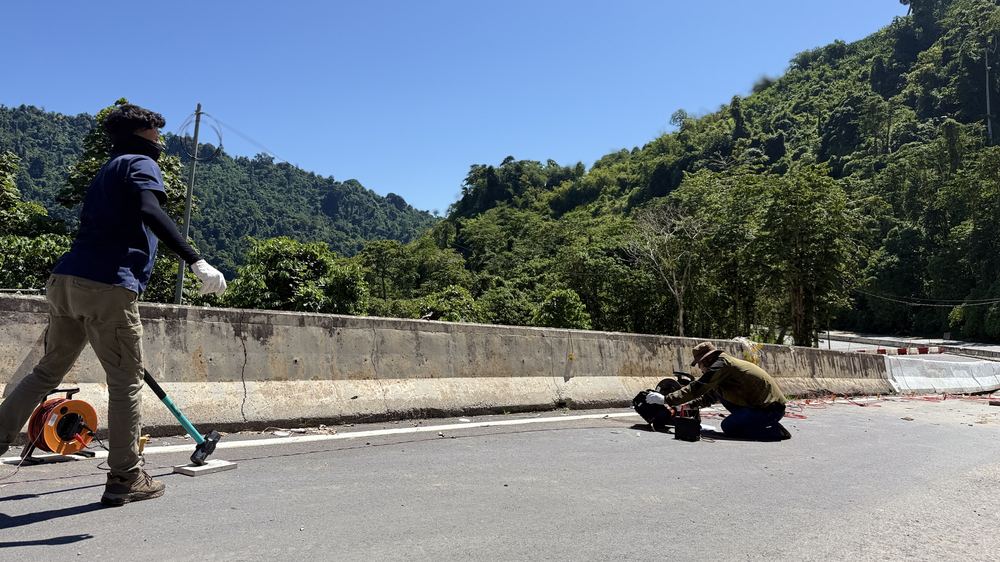
Refraction Survey, Hillside Road
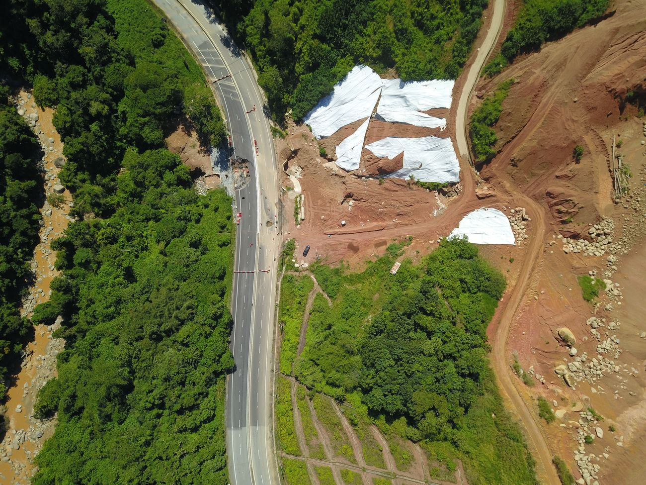
Aerial Survey, Slope Failure Zone
What we can verify, we show. Nothing more.
- ✓ Registered with the Companies Commission of Malaysia (SSM) since 2020
- ✓ Field disciplines: geological, geophysical, soil investigation and GIS
- ✓ Own geophysical equipment — ERT, seismic and GPR systems
- ✓ GIS analysis conducted using ArcGIS (Esri)
- ✓ Field experience across Selangor, Putrajaya, Terengganu and Peninsular Malaysia
Common questions.
Can geophysics replace boreholes?
What can ERT (resistivity) investigate?
What is a Parallel Seismic Test used for?
What information do you need to prepare a proposal?
Which areas do you cover?
Planning a project, or investigating a ground problem?
Tell us about your site, your project objective and what you need investigated — we'll respond with a proposed scope.